
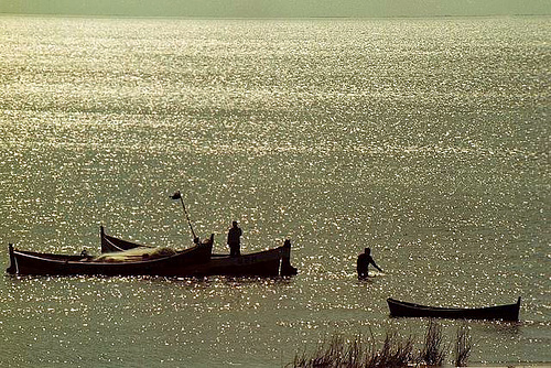
Lagoa Mirim
Alkaline Lake · 3,845 km²
Lagoa Mirim is a alkaline lake in Brazil and Uruguay, with a mapped surface area of about 3,845 km². About 80% of its surface lies in Brazil, and the rest in Uruguay.
Lagoon Mirim (Portuguese, pronounced [miˈɾĩ]) or Merín (Spanish, pronounced [meˈɾin]) is a large estuarine lagoon which extends from southern Rio Grande do Sul state in Brazil into eastern Uruguay. Lagoa Mirim is separated from the Atlantic Ocean by a sandy, partially barren isthmus.
The Jaguarão/Yaguarón, Tacuarí and Cebollatí Rivers empty into Lagoon Mirim, while the São Gonçalo Channel connects it with Lagoa dos Patos to the north.
Adapted from Wikipedia: Lagoon Mirim (CC BY-SA 4.0).
- Surface area
- 3,845 km²
- Area rank
- #54 of 756 indexed
- Type
- Alkaline Lake
- Countries
- Brazil, Uruguay
- Coordinates
- -32.5882°, -52.8051°
Among the 756 water bodies with a mapped extent in YearMaps, Lagoa Mirim ranks #54 by surface area, after Lake Khanka (4,036 km²) and ahead of Dubawnt Lake (3,831 km²). Areas are computed from the mapped outline and are approximate.
- Settlements on the shore:
- Jaguarão (42 km), Santa Vitória do Palmar (91 km), Rio Grande (114 km)
- Other water nearby:
- Represa Itaipu (2,418 km²), Represa de Tucuruí (3,606 km²)
More about Lagoa Mirim
Location
Lagoon Mirim is about 174 kilometres (108 mi) long by 10 to 35 km (6 to 22 mi) wide and 3,750 km2 (1,450 sq mi) in area. It is more irregular in outline than its larger neighbor to the north, Lagoa dos Patos, and discharges into the latter through São Gonçalo Channel, which is navigable by small boats. Lagoa Mirim has no direct connection to the Atlantic, but the Rio Grande, a tidal channel about 39 km (24 mi) long which connects Lagoon dos Patos to the Atlantic, affords an entrance to the navigable inland waters of both lagoons and several small ports.
Both lagoons are the remains of an ancient depression in the coastline shut in by sand beaches built up by the combined action of wind and oceanic currents.
Sections adapted from Wikipedia: Lagoon Mirim (CC BY-SA 4.0).
Lagoa Mirim: Key Facts
| Surface area | 3,994 km² |
|---|---|
| Maximum depth | 12 m |
| Surface elevation | 1 m |
| Inflows | Cebollatí River, Arroyo de la India Muerta, San Luis River, Jaguarão River, Tacuarí River |
| Outflows | São Gonçalo Channel |
Facts from Wikidata Q876280 (CC0).