South Shetland Islands
Island group · 13,994 km²
South Shetland Islands is an island group in Antarctica, covering an estimated 13,994 km².
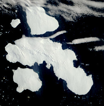
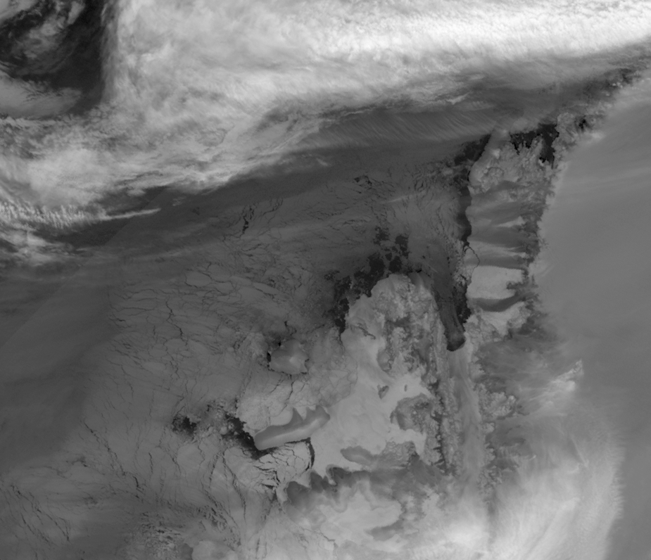
The South Shetland Islands are a group of Antarctic islands located in the Drake Passage with a total area of 3,687 km2 (1,424 sq mi). They lie about 120 kilometres (65 nautical miles) north of the Antarctic Peninsula, and between 430 and 900 km (230 and 485 nmi) southwest of the nearest point of the South Orkney Islands. By the Antarctic Treaty of 1959, the islands' sovereignty is neither recognized nor disputed by the signatories. According to British government language on the topic, "the whole of Antarctica is protected in the interests of peace and science."
The islands have been claimed by three countries, beginning with the United Kingdom since 1908 (since 1962 as part of the equally unrecognized British Antarctic Territory). The islands are also claimed by the governments of Chile (since 1940, as part of the Antártica Chilena province), and by Argentina (since 1943, as part of Argentine Antarctica, Tierra del Fuego Province), both equally unrecognized.
Several countries maintain research stations on the islands. Most of them are situated on King George Island, benefitting from the airfield of the Chilean base Eduardo Frei.
Adapted from Wikipedia: South Shetland Islands (CC BY-SA 4.0).
- Feature class
- Island group
- Mapped extent
- 13,994 km²
- Size rank
- #127 of 445 islands
- Region
- Antarctica
- Coordinates
- -61.2538°, -54.2777°
- Summits:
- Mount Usborne (705 m), Mount Paget (2,915 m), Torres del Paine (2,500 m)
- Ranges:
- Jones Mountains (Antarctica), Ellsworth Mountains (Antarctica)
- Settlements:
- Ushuaia (1,091 km), Rio Grande (1,149 km), Punta Arenas (1,341 km)
More about South Shetland Islands
Geography
As a group of islands, the South Shetland Islands are located at 62°0′S 58°0′W. They are within the region 61° 00'–63° 37' South, 53° 83'–62° 83' West. The islands lie 940 km (510 nmi) south of the Falkland Islands, and between 93 km (50 nmi) (Deception Island) and 269 km (145 nmi) (Clarence Island) northwest and north from the nearest point of the Antarctic continent, Graham Land.
The South Shetlands consist of 11 major islands and several minor ones, totalling 3,687 km2 (1,424 sq mi) of land area. Between 80 and 90% of the land area is permanently glaciated. The highest point on the island chain is Mount Foster on Smith Island at 2,025 m (6,644 ft) above sea level at 2-meter spatial resolution.
History
The islands were discovered by British mariner William Smith, in William, in 1819, although Dutch mariner Dirck Gerritsz in 1599 or Spanish Admiral Gabriel de Castilla in 1603 might have sighted the South Shetlands, or North or South American sealers might have visited the archipelago before Smith. Smith's discovery was well documented and had wider historical implications beyond its geographic significance.
Chilean scientists have claimed that Amerinds have visited the islands, due to stone artifacts recovered from bottom-sampling operations in Admiralty Bay, King George Island, and Discovery Bay, Greenwich Island; however, the artifacts – two arrowheads – were later found to have been planted.
Sections adapted from Wikipedia: South Shetland Islands (CC BY-SA 4.0).
South Shetland Islands: Key Facts
| Area | 3,687 km² |
|---|---|
| Population | 500 |
| Highest point | Mount Irving |
| Surrounded by | Southern Ocean, Scotia Sea |
Facts from Wikidata Q140948 (CC0).
Visiting South Shetland Islands
The South Shetland Islands are an archipelago 120 km (75 miles) north of the Antarctic Peninsula. They have a marine polar climate: very cold, but not as extremely cold as the mainland. They were discovered in the early 19th century and supported temporary bases for whaling and sealing, and later research and exploration bases. They have never had permanent residents.
Travel notes adapted from Wikivoyage: South Shetland Islands (CC BY-SA 4.0).