Skip to content
YearMaps
INLAND WATERWAY5,500 km Total NetworkActive: 750 CE – 1000 CE

The Volga Trade Route

The river road by which Scandinavian traders reached the Caspian Sea and the markets of the Abbasid Caliphate, bringing Islamic silver north in great quantity.

4.0
Type: inland-waterwayMap centre: [49.06°, 54.98°]Line: YearMaps schematic line drawn between the documented stations.

Places Along the Volga Trade Route

Volga trade route, on the Volga Trade Route
Volga trade routePublic domain, via Wikimedia Commons
Bolghar, on the Volga Trade Route
BolgharCC BY-SA 3.0, via Wikimedia Commons
Derbent, on the Volga Trade Route
DerbentCC BY-SA 2.0, via Wikimedia Commons

Commercial Genesis & Spatial Network

From Lake Ladoga, Rus traders worked their boats up the Volkhov and across low portages to the upper Volga, then downstream to the Volga Bulgars at Bolghar and the Khazar capital Atil near the river’s mouth. Some went on across the Caspian and by camel to Baghdad. The Arab envoy Ibn Fadlan met Rus merchants on the Volga in 922 and left the best known description of them. The route declined in the late tenth century as the flow of silver from Central Asian mines fell and the Khazar state collapsed, and the Dnieper route to Constantinople took its place.

Economic Impact & Cultural Diffusion

Tens of thousands of Abbasid and Samanid silver coins found in hoards across Scandinavia and the Baltic arrived by this route.

Caravanserais and Halting Places on This Route

12 caravanserais recorded within 40 km of the mapped line. A caravanserai is a roadside inn; a halting place is a named camping ground with no permanent building. How caravans travelled and how a caravanserai worked.

Bukhara Caravanserai, Azerbaijan

Bukhara Caravanserai

Caravanserai · Azerbaijan · 40.3668° N, 49.8373° E

Bukhara Caravanserai is a caravanserai located in Baku, Azerbaijan. It was erected in the late 15th century over a trade route passing through the Shamakhi Gates of the fortress. It is located in the Icherisheher old town, opposite the Multani Caravanserai, and close to the Maiden Tower. The caravanserai was harnessed as a hotel, basically catering to merchants of Central Asia. The shape of the caravanserai building is square and surrounded by balconies and cells, and the portal is convex. The caravanserai has an octagonal courtyard as well as. The bulk of the architectural composition of the caravanserai has been formed by various arches situated around the inner courtyard. In the year of 1964, the Bukhara Caravanserai underwent restoration works and as a result of this process, the caravanserai building was separated from its annexes built earlier, which made available to see the national monument in the background of the surrounding buildings. The caravanserai building houses a restaurant which serves Azerbaijan national cuisine.

Text from Wikipedia (CC BY-SA 4.0). Photo via Wikimedia Commons

Multani Caravanserai, Azerbaijan

Multani Caravanserai

Caravanserai · Azerbaijan · 40.3668° N, 49.8373° E

The Multani Caravanserai is a caravanserai located in Baku, Azerbaijan. It was established in the 14th century and is located in the Icherisheher old town, opposite the Bukhara Caravanserai. The caravanserai was built to house merchants from the medieval city of Multan (now in Punjab, Pakistan) who frequented the region for trade, and used this caravanserai as a stop. They included Zoroastrians, who are also believed to have erected the Ateshgah Temple in Surakhani. The caravanserai has a square shape and the construction of the building is in an ancient style. There are many balconies around the courtyard. Now the Multani Caravanserai houses a restaurant of Azerbaijani cuisine. In 2020, restoration works were commenced on the site with a completion time of 2022. The caravanserai has been linked to the historical relationship between Azerbaijan and Pakistan.

Text from Wikipedia (CC BY-SA 4.0). Photo via Wikimedia Commons

Shah Sefi's Caravanserai, Azerbaijan

Shah Sefi's Caravanserai

Caravanserai · Azerbaijan · 40.4587° N, 49.9224° E

Shah Sefi's Caravanserai is a historical and architectural monument of the 17th century located in the village of Balakhani. It was built in 1635-1636 by the master Burkhan and the sarkar Behbud at the order of the Safavid ruler Shah Sefi I. Shah Sefi's caravanserai on the plan represent an elongated rectangle with an aspect ratio of approximately 1:3. The caravanserai's entrance is oriented to the north-east.

Text from Wikipedia (CC BY-SA 4.0). Photo via Wikimedia Commons

Small Caravanserai, Azerbaijan

Small Caravanserai

Caravanserai · Azerbaijan · 40.3651° N, 49.8357° E

The Small Caravanserai in Baku, Azerbaijan has a square shape and an inner quadrangular courtyard with cut corners. This caravanserai was built in the 12th century. There is a long balcony which surrounds the building of the caravanserai. The north and south entrances of the caravanserai are portal-shaped. During the Middle Ages, there was a main entrance from the sea. The caravanserai has a defensive construction and two floors on the southern side. It is a monument of national importance. The caravanserai consisted of counters from the shopping street that did not have direct communication with the courtyard. However, it is believed that there used to be a functioning Madrasah nearby which was part of the Jameh (Juma) complex and the rooms of the caravanserai were considered for students studying in Madrasah. The caravanserai now features an "Art garden" which includes art galleries, several workshops of artisans and a restaurant of both national and European cuisines. Each room of the monument has been decorated by a different Azerbaijani artist.

Text from Wikipedia (CC BY-SA 4.0). Photo via Wikimedia Commons

Two-Storeyed Caravanserai, Azerbaijan

Two-Storeyed Caravanserai

Caravanserai · Azerbaijan · 40.3657° N, 49.8368° E

Two-storeyed caravanserai (Azerbaijani: İkimərtəbəli karvansara) or Gasim bey caravanserai (Azerbaijani: Qasım bəy karvansarası) is a historic monument of the XV century. It is a part of Old City and located on Hagigat Rzayeva street, in the city of Baku, in Azerbaijan. The building was also registered as a national architectural monument by the decision of the Cabinet of Ministers of the Republic of Azerbaijan dated August 2, 2001, No. 132.

Text from Wikipedia (CC BY-SA 4.0). Photo via Wikimedia Commons

All Recorded Stopping Places

NameTypeCountryCoordinates
Bukhara CaravanseraiCaravanseraiAzerbaijan40.3668° N, 49.8373° E
Multani CaravanseraiCaravanseraiAzerbaijan40.3668° N, 49.8373° E
Shah Sefi's CaravanseraiCaravanseraiAzerbaijan40.4587° N, 49.9224° E
Small CaravanseraiCaravanseraiAzerbaijan40.3651° N, 49.8357° E
Two-Storeyed CaravanseraiCaravanseraiAzerbaijan40.3657° N, 49.8368° E
Bagh-e Sheikh CaravanseraiCaravanseraiIran34.9908° N, 50.4469° E
Fath-Ali Shah CaravanseraiCaravanseraiIran35.4725° N, 51.0836° E
Hajib CaravanseraiCaravanseraiIran35.5433° N, 50.1650° E
Khoshkeh Rud CaravanseraiCaravanseraiIran35.4119° N, 50.2062° E
Qozloq CaravanseraiCaravanseraiIran36.6999° N, 54.5784° E
Robat Karim Stone CaravanseraiCaravanseraiIran35.4582° N, 50.9746° E
Yaniguyulu CaravansaraiCaravanseraiAzerbaijan40.2298° N, 49.5625° E

Sources: Wikidata (caravanserais, CC0) and the OWTRAD project (halting places). All caravanserais and halting places

Logistics, Caravanserais & Overland Hazards

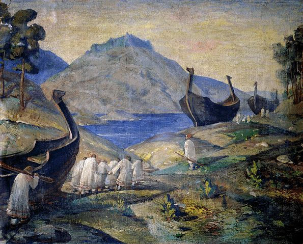
  • ▲Boats were dragged over the portages between the Baltic and Volga river systems
  • ▲The Volga Bulgars and Khazars each levied a tenth on goods passing through
  • ▲Navigation was limited to the ice-free months
  • ▲Traders travelled in armed companies and wintered at fortified trading posts