
Ying
Ying is a mapped river in the YearMaps hydrographic index. River courses organise settlement, agriculture and frontier-making more durably than any political boundary, and this reach is indexed against the dams, lakes and cities within its catchment.
- Feature Class
- River
- Coordinates
- 32.82°, 116.05°
About Ying
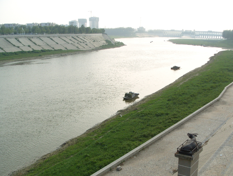
The Ying River (simplified Chinese: 颍河; traditional Chinese: 潁河; pinyin: Yǐng Hé) is the largest tributary of the Huai River with its origin in Henan Province, People's Republic of China. From Zhoukou City in Henan, the river flows through Fuyang City in Anhui Province then empties into the Huai River at Shouxian.
Seriously polluted along its entire length, in 2007 the Ying River's water quality was rated as below Grade 5 by the Chinese Environmental Protection Agency.
Encyclopedic summary adapted from Wikipedia: Ying River (CC BY-SA 4.0).
Ying: Key Facts
| Length | 561 km |
|---|---|
| Drainage basin | 36,651 km² |
| Mouth | Huai River |
| Drainage system | Yangtze River basin |
| Tributaries | Quan River, Qingyi River, Jialu River |
Facts from Wikidata Q2341287 (CC0).
Major River Dossiers
Hand-written studies of the great river systems of history.
Connected Reaches
Nearby watercourses in the same drainage network.
Water Bodies in the Catchment
Settlements Along the Reach
Hydraulic Infrastructure Nearby
Surrounding Terrain
Ying: Quick Answers
- Where is Ying?
- Ying is located in China, at 32.8159° N, 116.0468° E.
- Are there dams on the Ying?
- No dam on the Ying is recorded in the YearMaps dam index, which covers major structures only.