
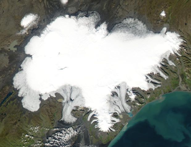
Vatnajökull
Glaciated areas · 8,492 km²
Vatnajökull is a glaciated areas in Iceland, covering an estimated 8,492 km². It is the 13th-largest of the 68 glaciers and ice fields with a mapped extent in YearMaps.
Vatnajökull (Icelandic pronunciation: [ˈvahtnaˌjœːkʏtl̥] , literally "Glacier of Lakes"; sometimes translated as Vatna Glacier in English) is the largest and most voluminous ice cap in Iceland, and the second largest in area in Europe after the Severny Island ice cap of Novaya Zemlya. It is in the south-east of the island, covering approximately 8% of the country.
Adapted from Wikipedia: Vatnajökull (CC BY-SA 4.0).
- Feature class
- Glaciated areas
- Mapped extent
- 8,492 km²
- Size rank
- #13 of 68 glaciers and ice fields
- Coordinates
- 64.4722°, -17.1389°
- Summits:
- Slaettaratindur (882 m), Gunnbjørn Fjeld (3,694 m), Beerenberg (2,277 m)
- Ranges:
- Grampian Mountains (Europe), Cambrian Mountains (Europe)
More about Vatnajökull
Vatnajökull: Key Facts
| Length | 143 km |
|---|---|
| Area | 7,700 km² |
Facts from Wikidata Q179734 (CC0).


